Home · Catalogue · Religion & Theology · S.I.8502
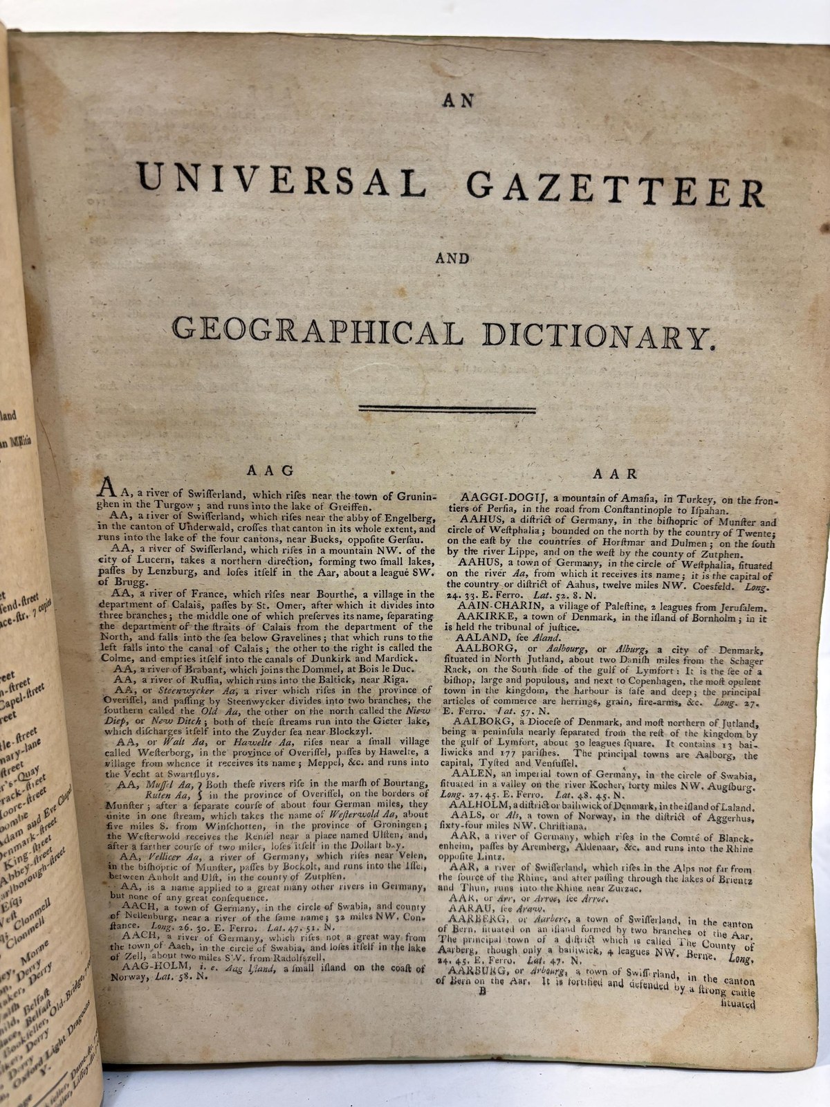
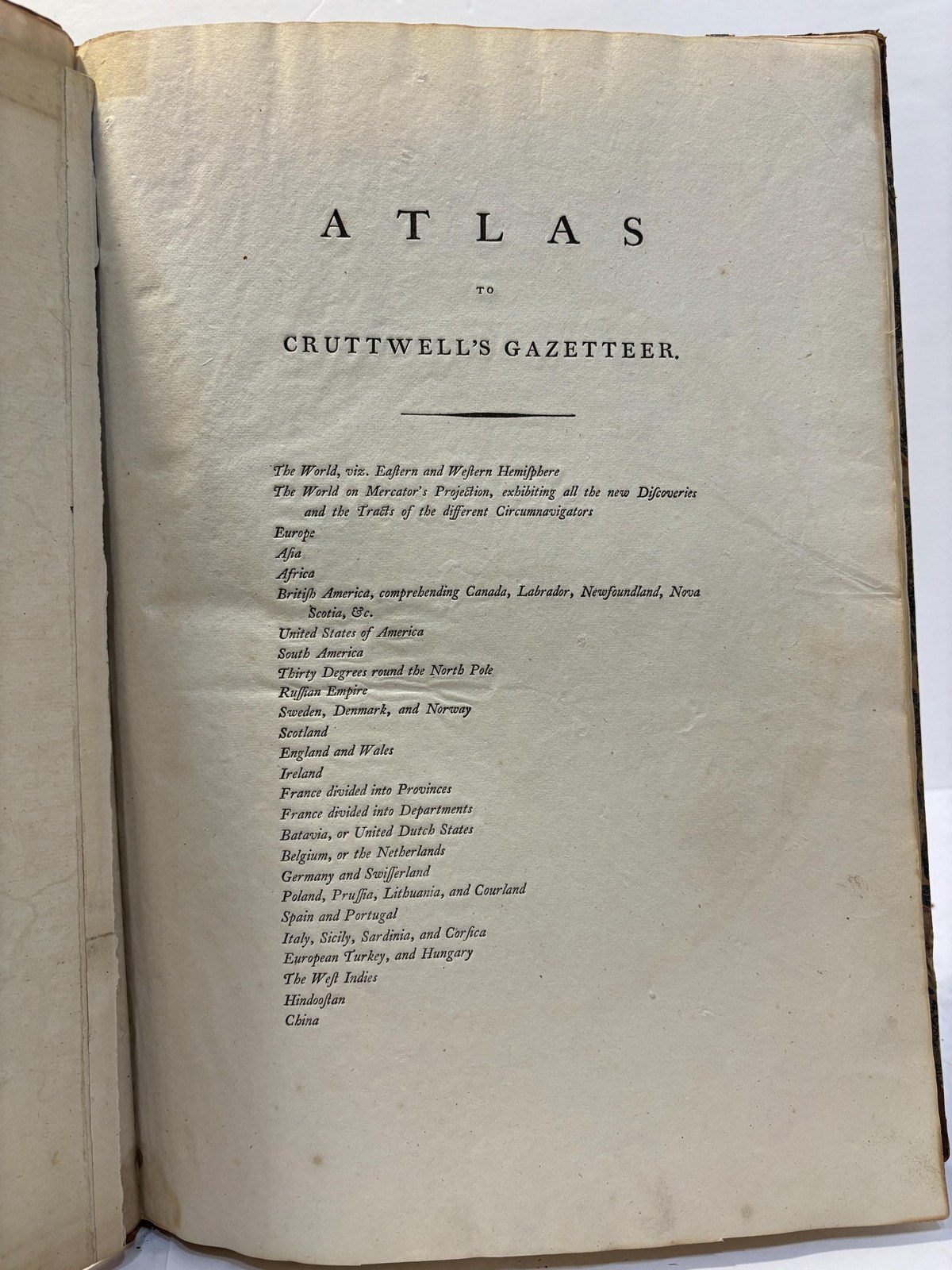
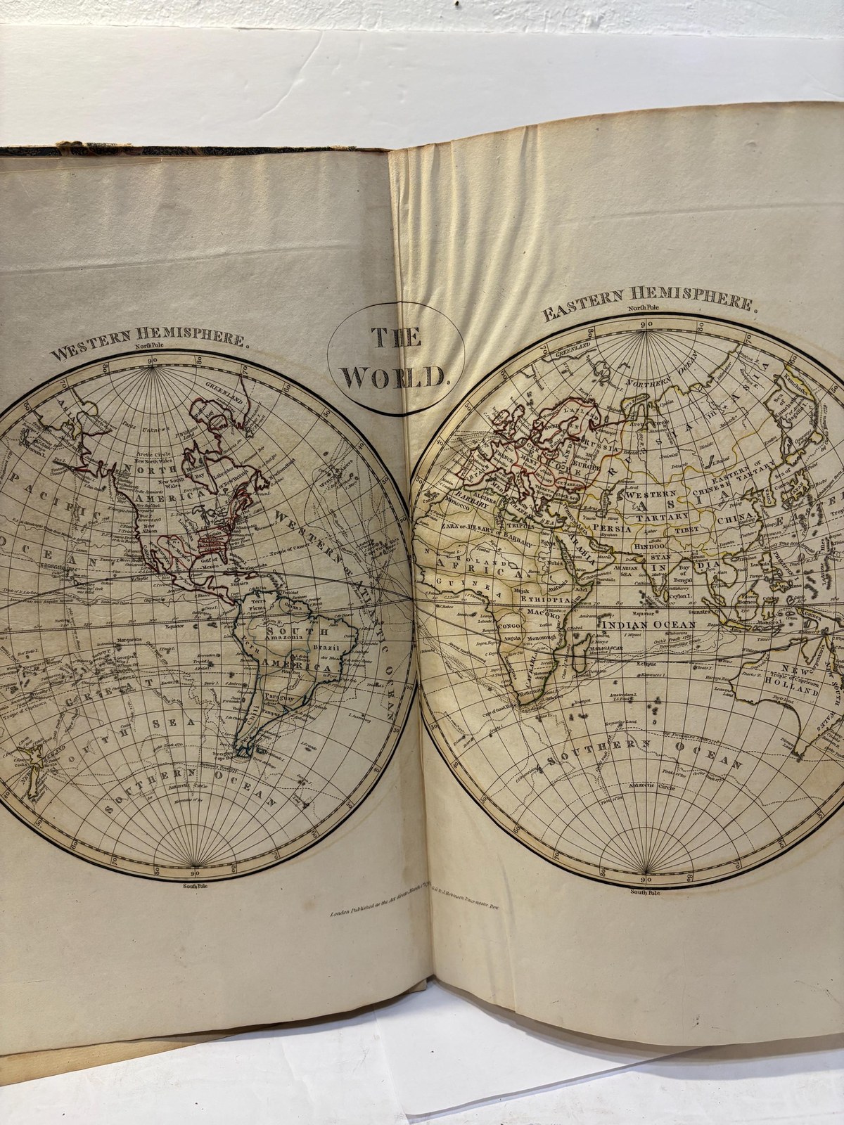
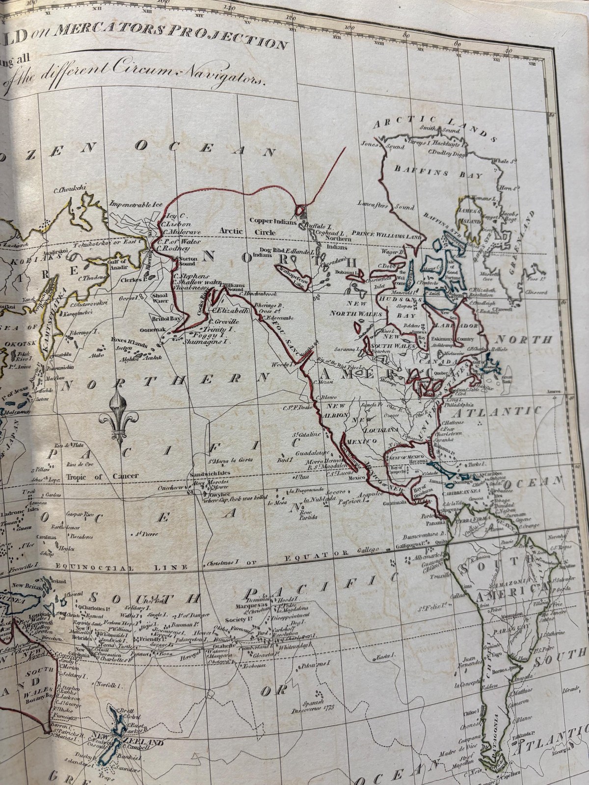
The New Universal Gazetteer; or, Geographical Dictionary: Containing A Description of All the Empires, Kingdoms, States, Provinces, Cities, Towns, Forts, Seas, Harbours, Rivers, Lakes, Mountains, and Capes, in The Known World; With the Government, Customs, Manners, and Religion of The Inhabitants; The Extent, Boundaries, and Natural Productions of Each Country; The Trade, Manufactures, and Curiousities of The Cities and Towns, Collected from the Best Authors; Their Longitude, Latitude, Bearings, and Distances, Ascertained by Actual Measurement, on the Most Authentic Charts. Together With an Atlas, Containing Twenty-Six Whole-Sheet Maps. Atlas to Cruttwells Gazetteer 26 Folding Maps of The World, Complete
Cruttwell, The Rev. Clement · Dublin, London
- Author
- Cruttwell, The Rev. Clement
- Date
- 1800
- Place
- Dublin, London
- Publisher
- John Sockdale, G.G. & J. Robinson
- Language
- English
- Binding
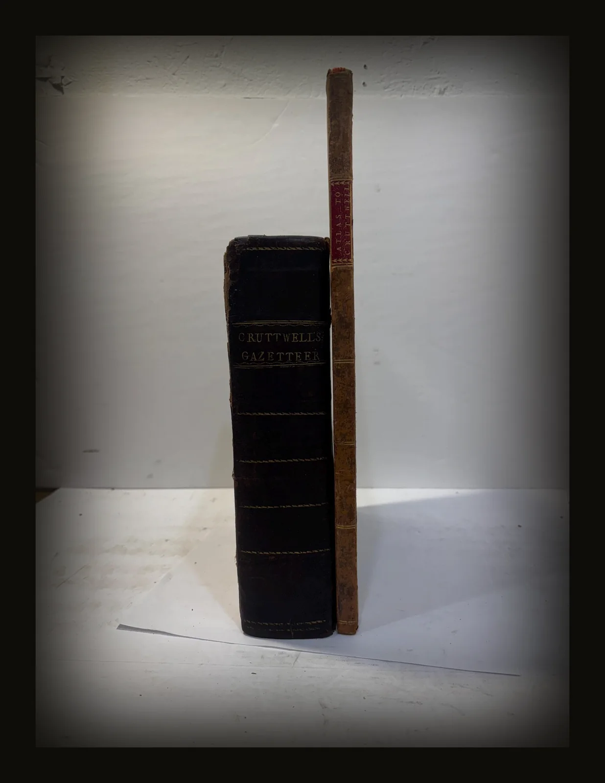
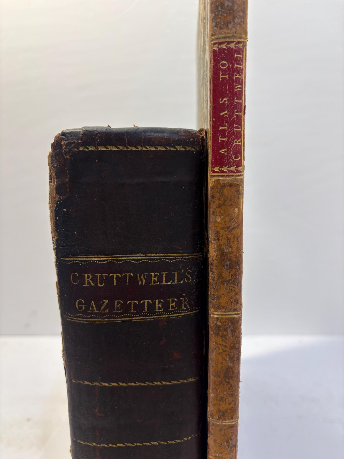
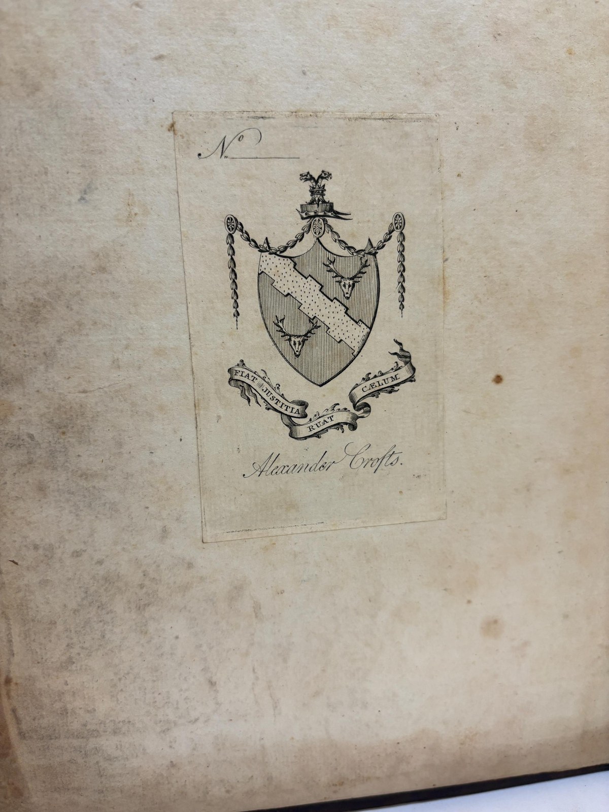
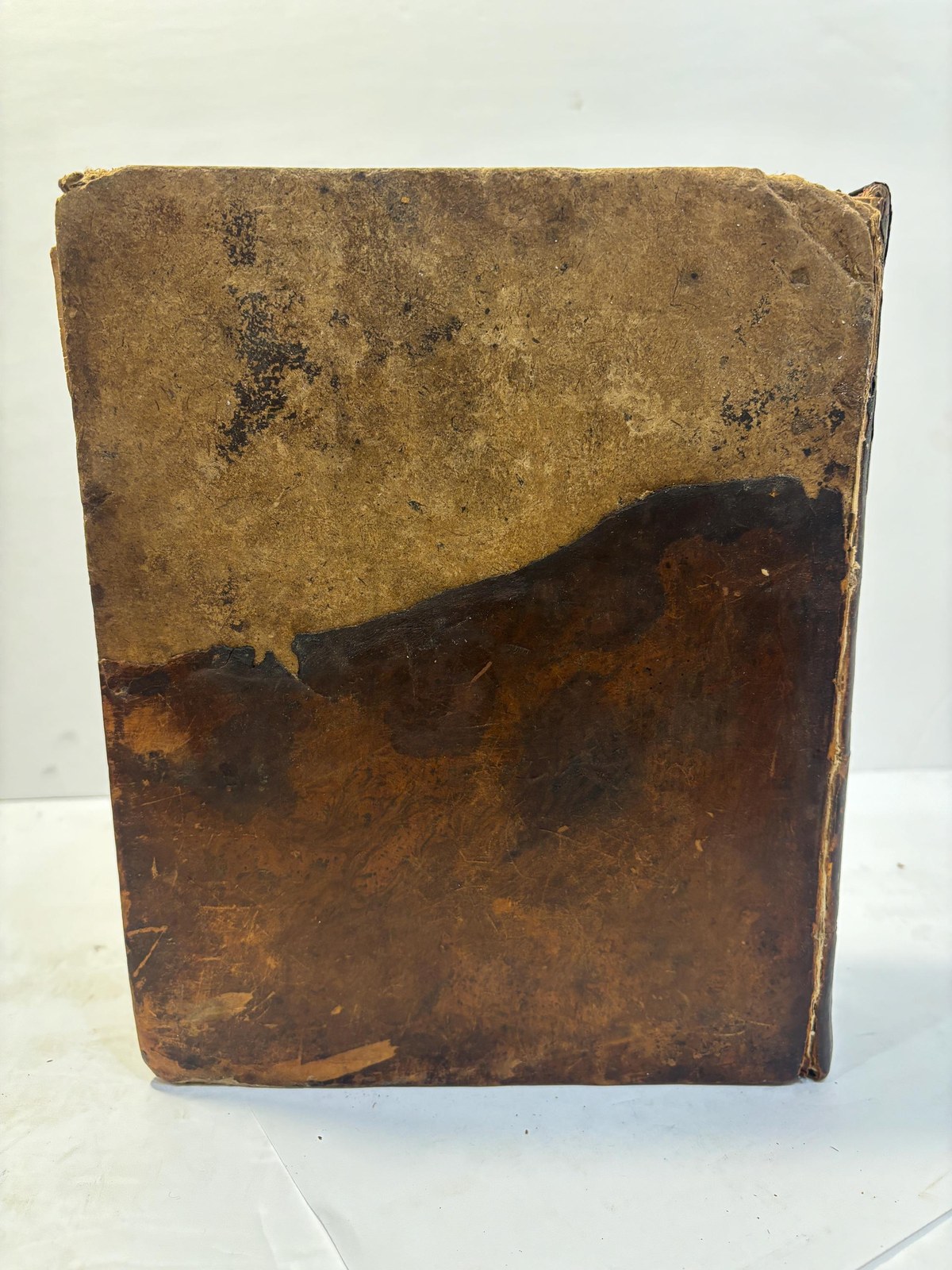
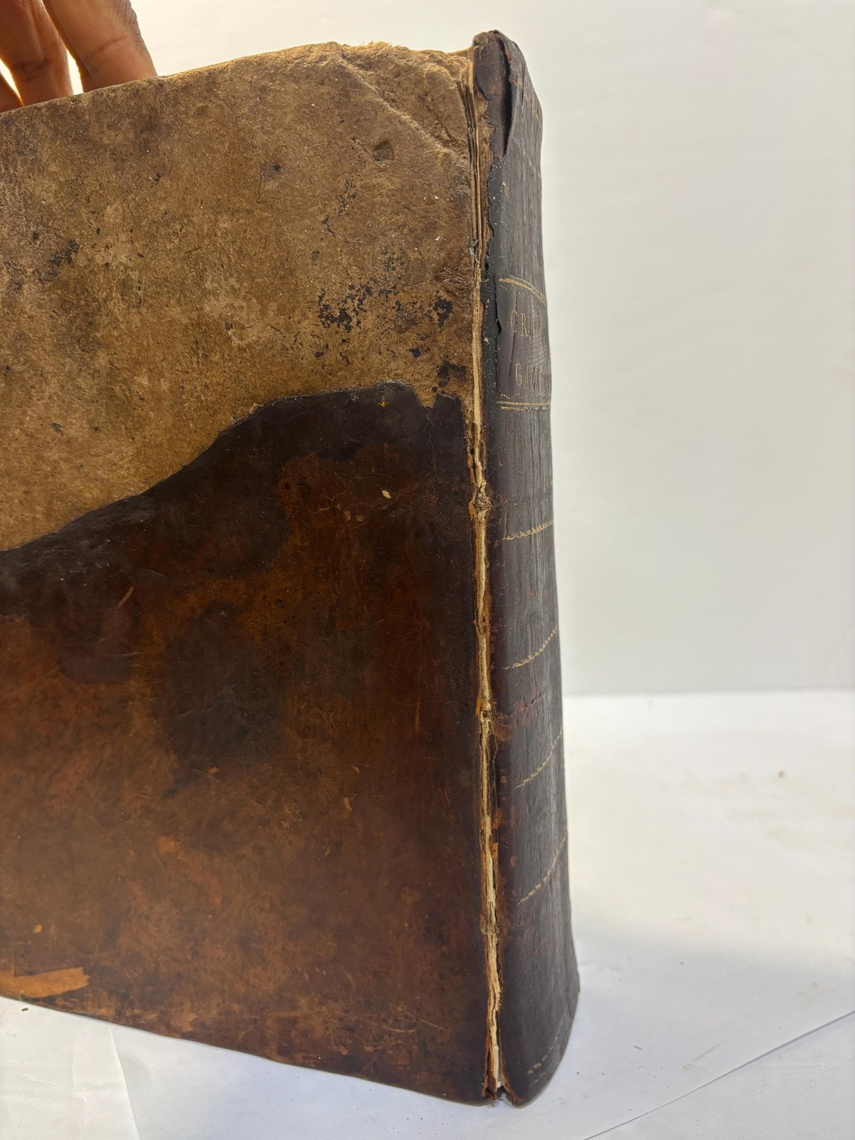
- 4to.(8.5" x 10.5") 1032 pp. Full brown mottled calf. Spine with gilt lettering to red leather with fancy gilt borders. Edgewear, corners bumped and rubbed with loss to tips. Rear board lacking top half of leather, both joints split, covers held by cords. Armorial bookplate of Alexander Crofts to front pastedown. Four pages of A List of The Subscribers Names, text in two columns. Dampstain to bottom 1/5 of pages 333-352, foxing throughout, but darker towards front and rear of text. Last couple of text pages partially disbound towards head. Pencilled notes to rear free endpaper. For the Folio Atlas, each bound map measuring 18.75" x 14.75". Lacking Title Page, this folio features the 26 listed double-page copper engraved maps with contemporary hand-colored territorial borders. Bound in quarter mottled tan leather with tiny corners over marbled boards. Spine with double gilt rule bands and gilt title to red leather towards head. Edgewear, corners bumped and rubbed with tiny loss to one tip. Head and foot of spine with tiny closed tears, small loss to head. Boards scuffed and rubbed in places, extremities rubbed with loss of paper to board edges. Upper corner of first free endpaper with loss (see pic). Among the maps, "The World" and "Poland" are creased at the fold, some offsetting to maps. Overall, a beautiful large Atlas of maps from the 18th century.
- Format
- Fine, copper plate engravings
- Category
- Religion & Theology
- Record
- S.I.8502
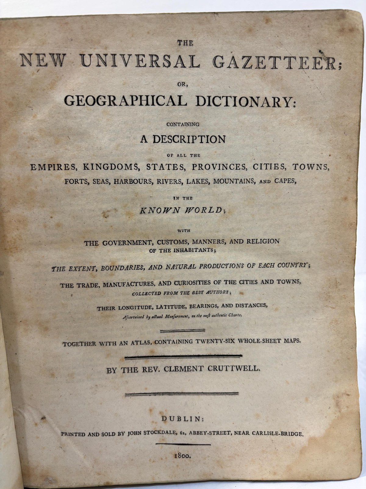
The New Universal Gazetteer; or, Geographical Dictionary: Containing A Description of All the Empires, Kingdoms, States, Provinces, Cities, Towns, Forts, Seas, Harbours, Rivers, Lakes, Mountains, and Capes, in The Known World; With the Government, Customs, Manners, and Religion of The Inhabitants; The Extent, Boundaries, and Natural Productions of Each Country; The Trade, Manufactures, and Curiousities of The Cities and Towns, Collected from the Best Authors; Their Longitude, Latitude, Bearings, and Distances, Ascertained by Actual Measurement, on the Most Authentic Charts. Together With an Atlas, Containing Twenty-Six Whole-Sheet Maps. Atlas to Cruttwells Gazetteer 26 Folding Maps of The World, Complete. 1800. Dublin, London: John Sockdale, G.G. & J. Robinson.
4to.(8.5" x 10.5") 1032 pp. Full brown mottled calf. Spine with gilt lettering to red leather with fancy gilt borders. Edgewear, corners bumped and rubbed with loss to tips. Rear board lacking the top half of leather, both joints split, covers held by cords. Armorial bookplate of Alexander Crofts to front pastedown. Four pages of A List of The Subscribers' Names, text in two columns. Dampstain to the bottom 1/5 of pages 333-352, foxing throughout, but darker towards the front and rear of the text. The last couple of text pages are partially disbound towards the head. Pencilled notes to rear free endpaper. For the Folio Atlas, each bound map measures 18.75" x 14.75". Lacking a Title Page, this folio features the 26 listed double-page copper-engraved maps with contemporary hand-colored territorial borders. Bound in quarter mottled tan leather with tiny corners over marbled boards. Spine with double gilt rule bands and gilt title to red leather towards the head. Edgewear, corners bumped and rubbed with tiny loss to one tip. Head and foot of spine with tiny closed tears, small loss to the head. Boards scuffed and rubbed in places, extremities rubbed with loss of paper to board edges. Upper corner of first free endpaper with loss (see pic). Among the maps, "The World" and "Poland" are creased at the fold, with some offsetting to the maps. Overall, a beautiful, large Atlas of maps from the 18th century.
Free shipping via USPS for United States purchasers within the continental U.S., International shipping determined using USPS Priority Express, DHL, FedEx, or Parcel Monkey. We are currently putting all 5000+ titles online, but if there is a specific title you are looking for, please reach out, we may just have it! Sonny Ideker Bookseller is located within City Antiques in Historic Roswell, Georgia at 700 Holcomb Bridge Road, Roswell, GA. 30076. We look forward to your visit or email for specific wants or needs. Thanks!
Antique Books, Old Leather Book, Old Vellum Book, Decorative Binding, Antiquarian Book, Vintage decorative, Ancient Leather, Rare Books, Decorative Books, Decorative Leather, Beautiful Decorative Book, That Rare Book Guy, Sonny Ideker, City Antiques & Interior Arts, Georgia Antiquarian Booksellers Association, Colette French Pastries.
Condition
Very Good
Guaranteed authentic and as described · 7-day returns · free US shipping — our terms. Subject to prior sale.