Home · Catalogue · Travel & Exploration · S.I.1629
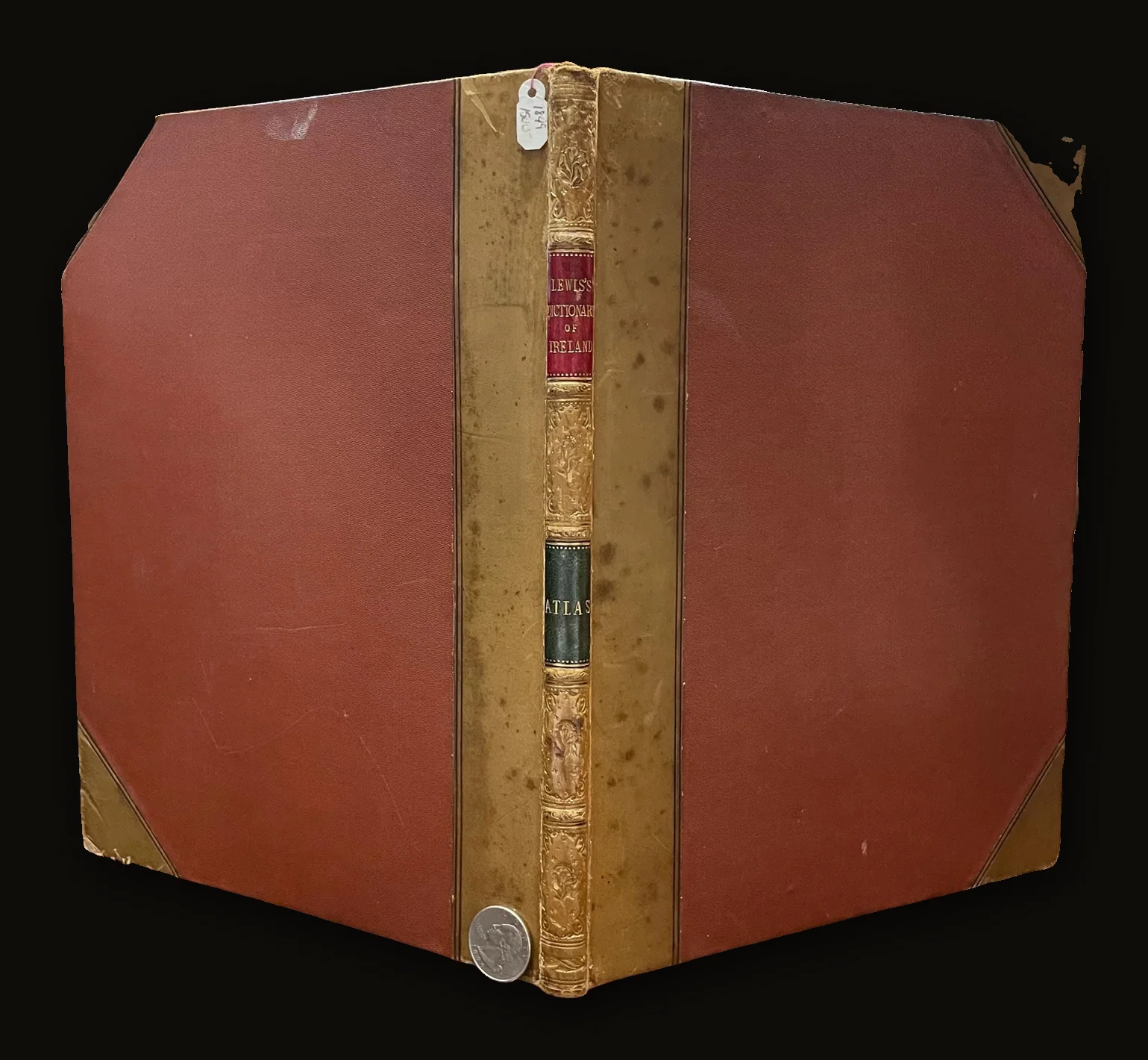
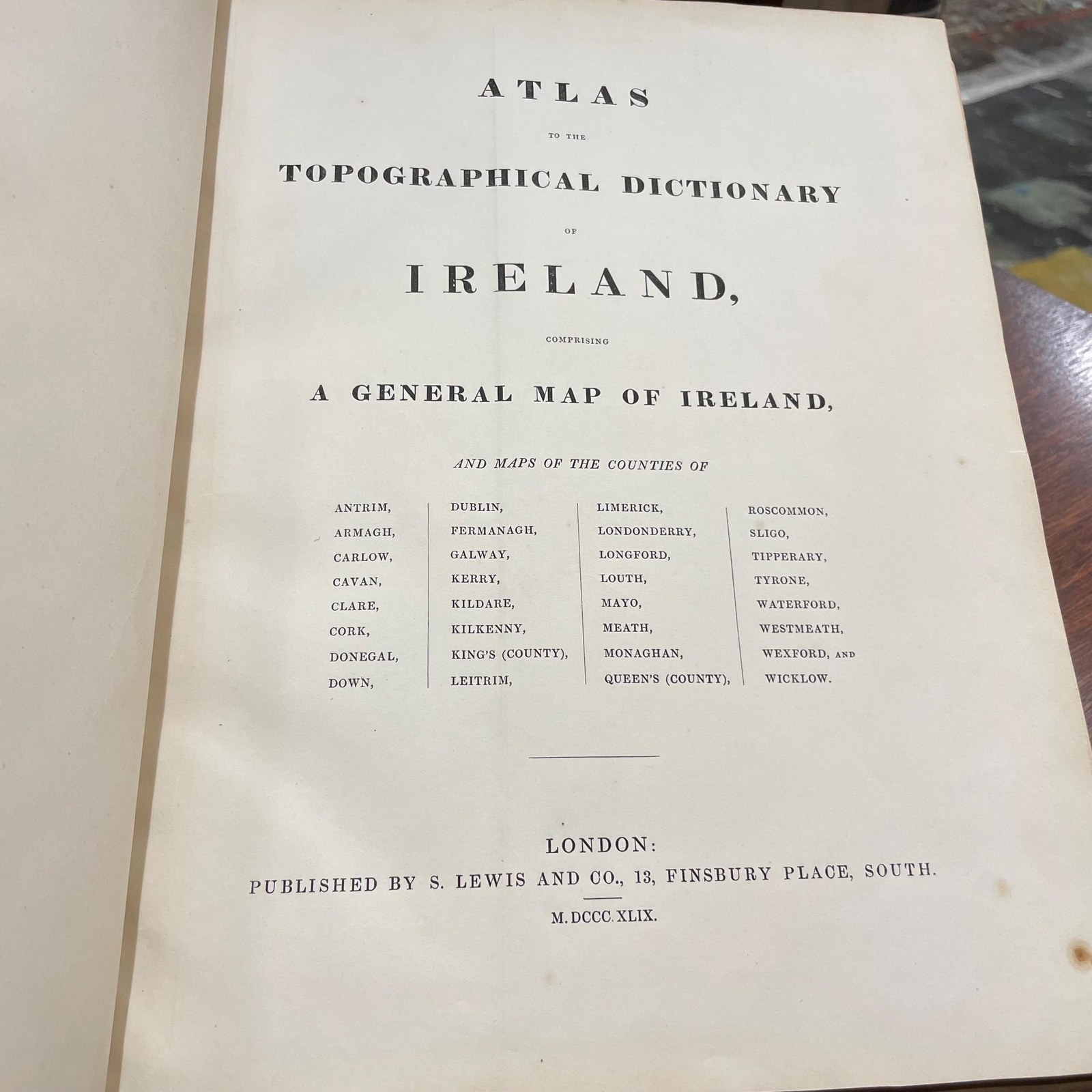
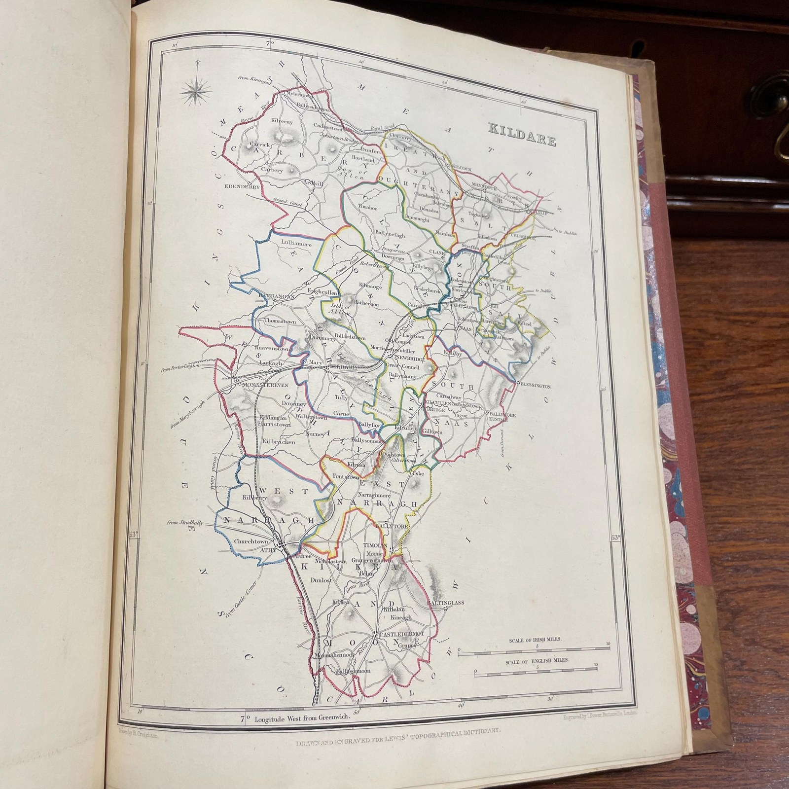
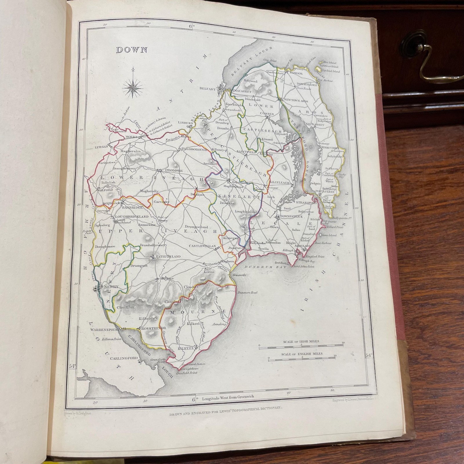
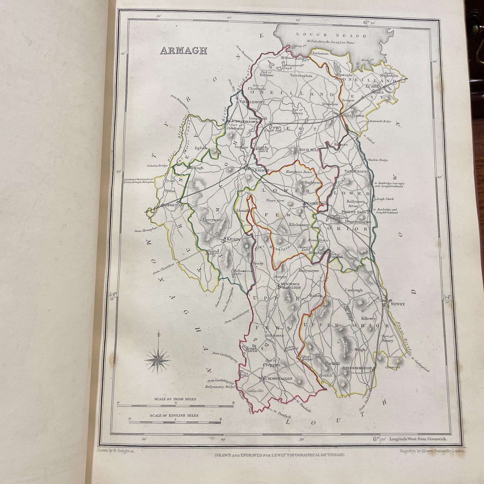
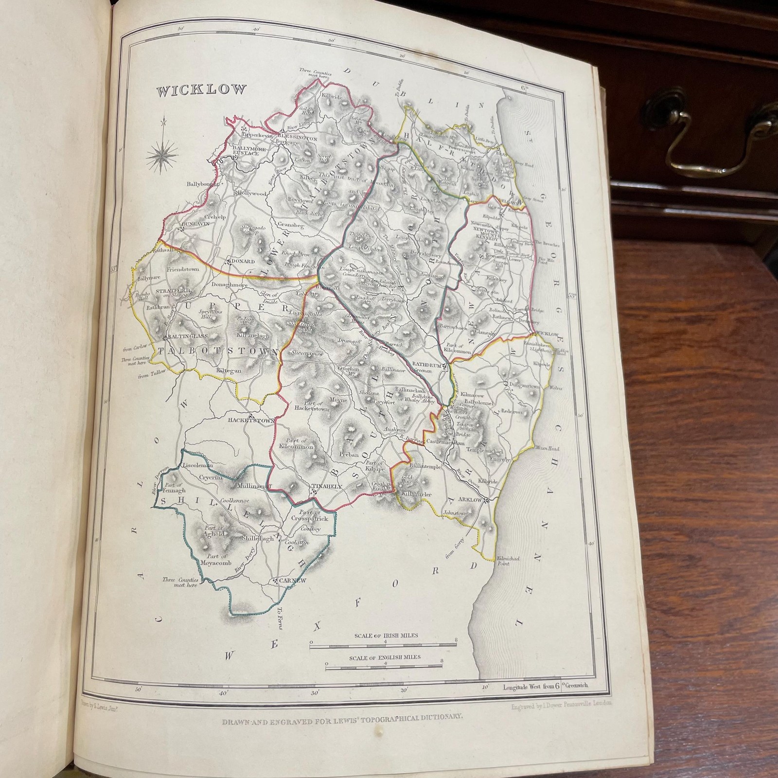
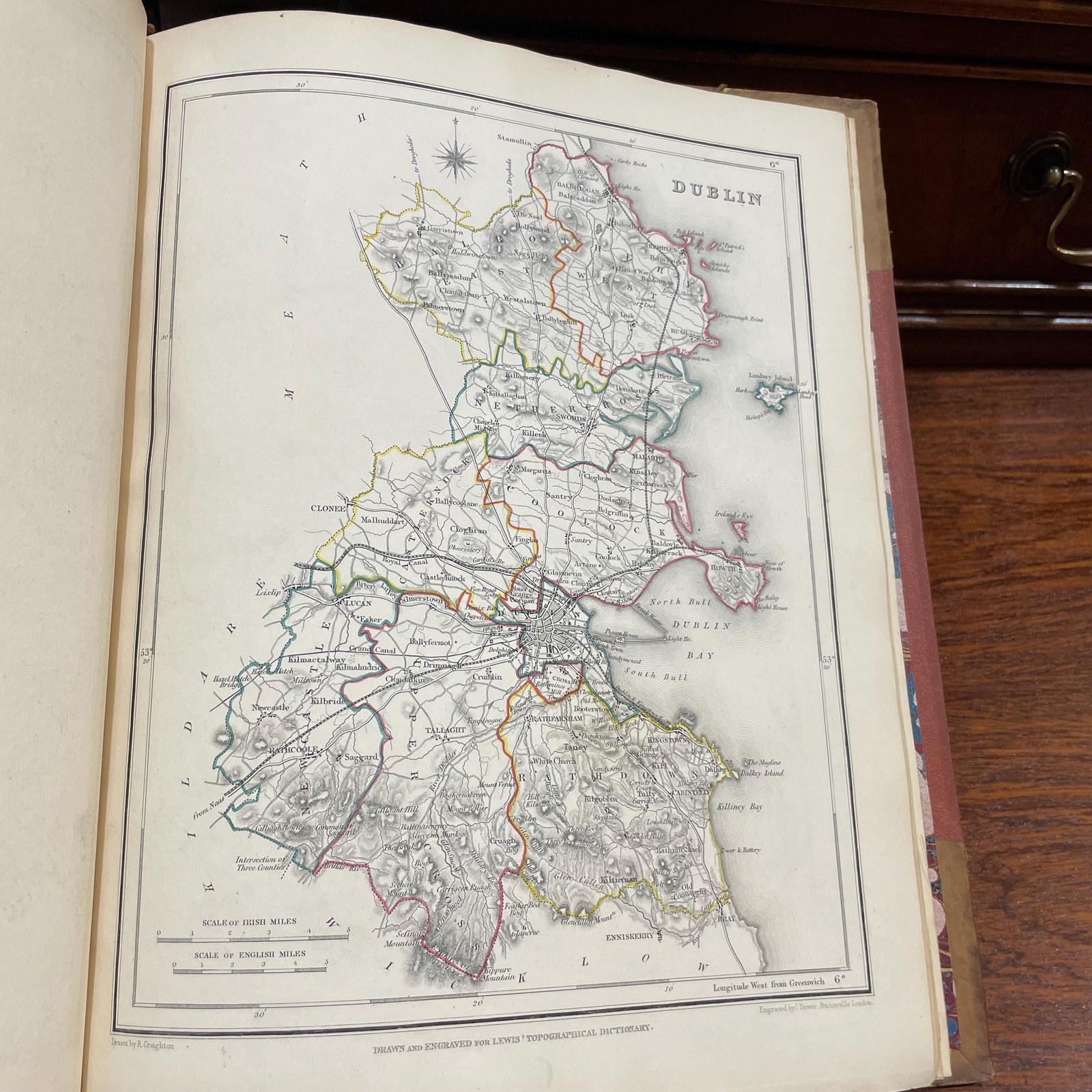
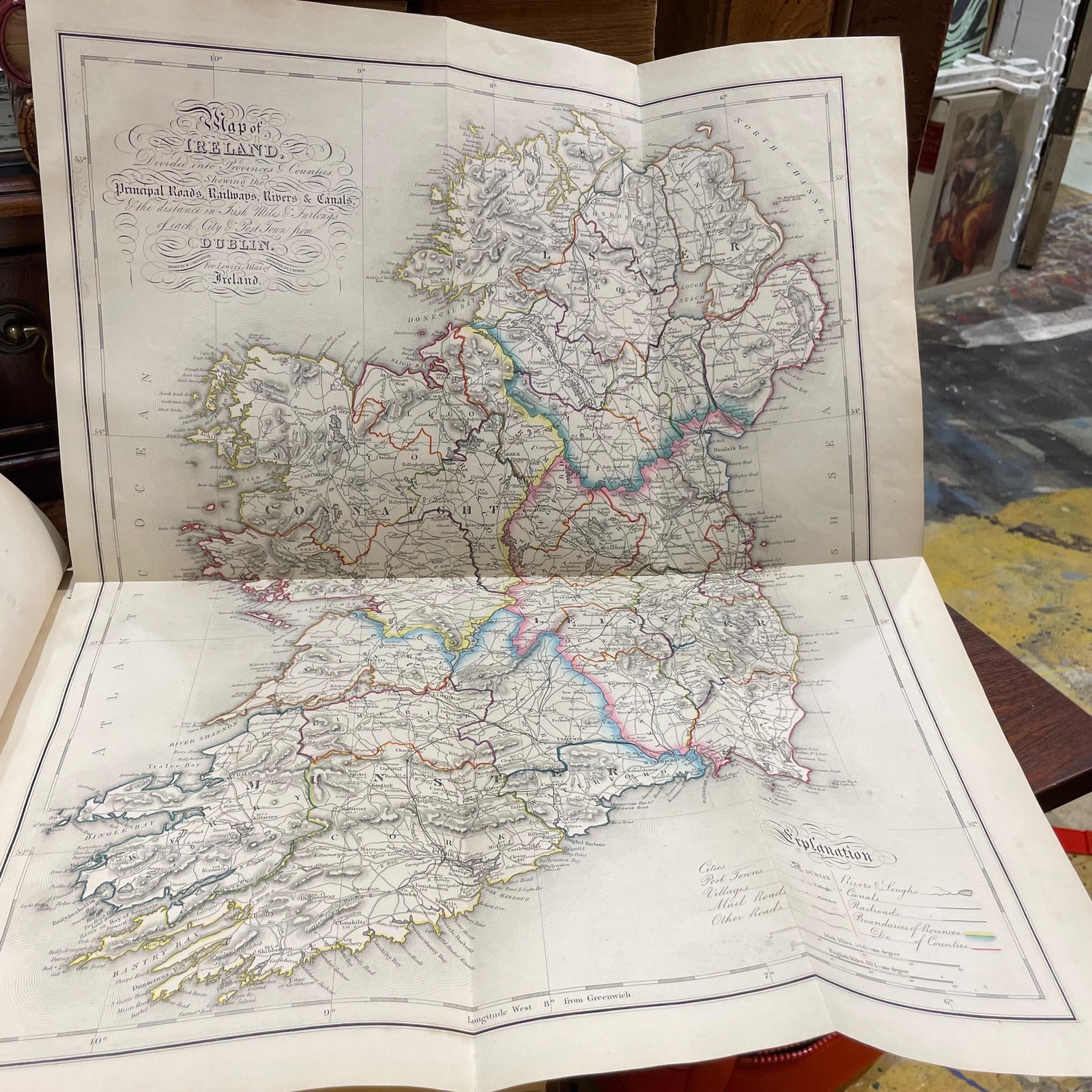
Atlas to the Topographical Dictionary of Ireland, Comprising a General Map of Ireland, and Maps of the CountiesAntrim, Armagh, Carlow, Cavan, Clare, Cork, Donegal, Down, Dublin, Fermanagh, Galway, Kerry, Kildare, Kilkenny, King's (County), Leitrim, Limerick, Londonderry, Longford, Louth, Mayo, Meath, Monaghan, Queen's (County). Roscommon, Sligo, Tipperary, Tyrone, Waterford, Westmeath, Wesford, and Wicklow.
[Lewis, Samuel] · London
- Author
- [Lewis, Samuel]
- Date
- 1849
- Place
- London
- Publisher
- S. Lewis and Co.
- Language
- English
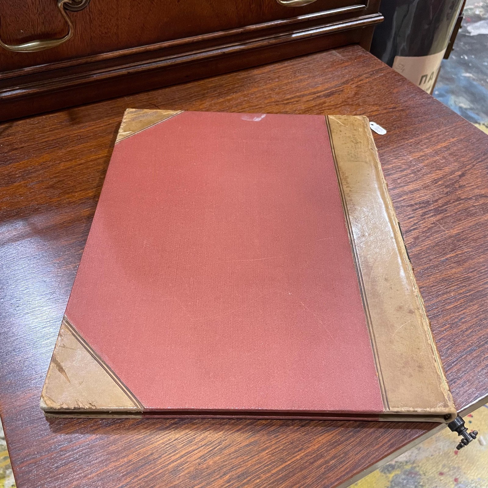
- Binding
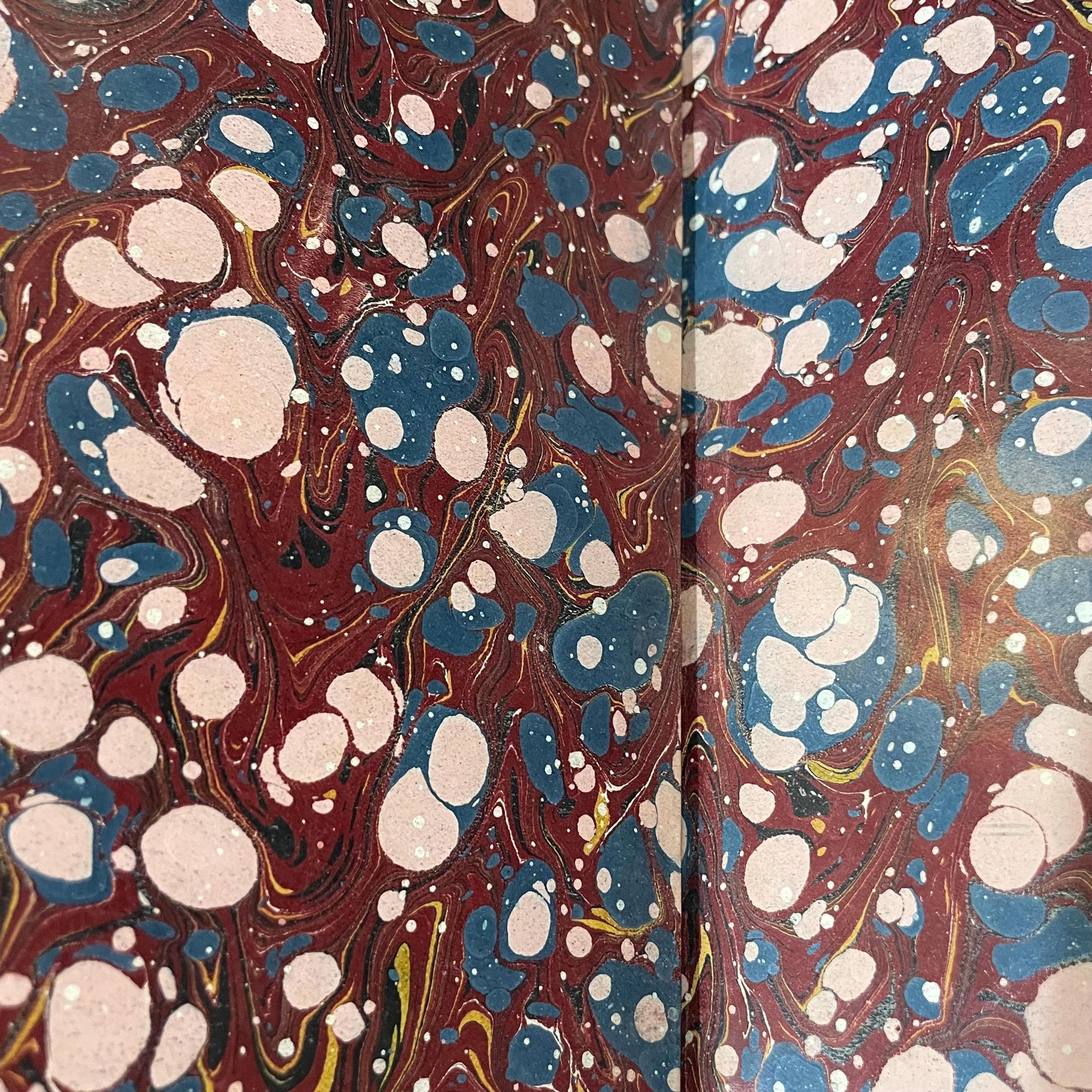
- 3/4 tan calf,marble endpapers
- Format
- 4to (8.625x11.375") Very heavy gilt, 5 mini compartments, 2 labels
- Category
- Travel & Exploration
- Record
- S.I.1629
Atlas to the Topographical Dictionary of Ireland, Comprising a General Map of Ireland, and Maps of the CountiesAntrim, Armagh, Carlow, Cavan, Clare, Cork, Donegal, Down, Dublin, Fermanagh, Galway, Kerry, Kildare, Kilkenny, King's (County), Leitrim, Limerick, Londonderry, Longford, Louth, Mayo, Meath, Monaghan, Queen's (County). Roscommon, Sligo, Tipperary, Tyrone, Waterford, Westmeath, Wesford, and Wicklow.
Author: Lewis, Samuel
From wiki: Samuel Lewis (c. 1782 – 1865) was the editor and publisher of topographical dictionaries and maps of the United Kingdom of Great Britain and Ireland. The aim of the texts was to give in 'a condensed form', a faithful and impartial description of each place. The firm of Samuel Lewis and Co. was based in London. Samuel Lewis the elder died in 1865. His son of the same name predeceased him in 1862. First published in 1837 in two volumes, with an accompanying atlas, it marked a new and significantly higher standard in such accounts of Ireland. Apart from The Parliamentary Gazetteer of Ireland published in 1845, it has not been superseded. The first edition is available online. A second edition was published in 1842. In the 1837 preface, the editor noted that: The numerous county histories, and local descriptions of cities, towns, and districts of England and Wales, rendered the publication of their former works, in comparison with the present, an easy task. The extreme paucity of such works, in relation to Ireland, imposed the necessity of greater assiduity in the personal survey, and proportionately increased the expense. Lewis relied on the information provided by local contributors and on the earlier works published such as Coote's Statistical Survey (1801), Taylor and Skinner's Maps of the Road of Ireland (1777), Pigot's Trade Directory (1824) and other sources. He also used the various parliamentary reports and in particular the census of 1831 and the education returns of the 1820s and early 1830s. Local contributors were given the proof sheets for final comment and revision. The names of places are those in use prior to the publication of the Ordnance Survey Atlas in 1838. Distances are in Irish miles (the statute mile is 0.62 of an Irish mile). The dictionary gives a unique picture of Ireland before the Great Famine.
From Wiki: Roycroft was a reformist community of craft workers and artists which formed part of the Arts and Crafts movement in the United States. Elbert Hubbard founded the community in 1895, in the village of East Aurora, New York, near Buffalo. Participants were known as Roycrofters. The work and philosophy of the group, often referred to as the Roycroft movement, had a strong influence on the development of American architecture and design in the early 20th century. Elbert Green Hubbard (June 19, 1856 – May 7, 1915) was an American writer, publisher, artist, and philosopher. Raised in Hudson, Illinois, he had early success as a traveling salesman for the Larkin Soap Company. Hubbard is known best as the founder of the Roycroft artisan community in East Aurora, New York, an influential exponent of the Arts and Crafts movement.
Among Hubbard's many publications were the fourteen-volume work Little Journeys to the Homes of the Great and the short publication A Message to Garcia. He and his second wife, Alice Moore Hubbard, died aboard the RMS Lusitania when it was sunk by a German submarine off the coast of Ireland on May 7, 1915.
We are currently putting all 5000+ titles online, but if there is a specific title you are looking for, please reach out to sidekerbookselleratgmail.com, we may just have it!
Free shipping via USPS for United State purchaser within the continental U.S., International shipping determined using USPS Priority Express, DHL, FedEx, or Parcel Monkey.
Sonny Ideker Bookseller is located within City Antiques in Historic Roswell, Georgia at 700 Holcomb Bridge Road, Roswell, GA. 30076. We would love to have you visit or email us at sidekerbookselleratgmail.com for specific wants or needs, thanks!
Find Us On: Facebook: https://www.facebook.com/p/Sonny-Ideker-Bookseller-Rare-Antiquarian-Leather-Vellum-Bound-Books-100068669041560/ YouTube: https://www.youtube.com/@SonnyIdekerBookseller/about Instagram: https://www.instagram.com/sonny_ideker_bookseller Flickr: https://flic.kr/ps/2v6pn4 Website: https://sonnyideker.weebly.com/ Antique Books, Old Leather Book, Old Vellum Book, Decorative Binding, Antiquarian Book, Vintage decorative, Ancient Leather, Rare Books, Decorative Books, Decorative Leather, Beautiful Decorative Book
Condition
Condition report available on request — ask and we will send a written report with additional photographs.
Guaranteed authentic and as described · 7-day returns · free US shipping — our terms. Subject to prior sale.